Property Record
1909 Unknown, Cocoa, FL 32927

Save to a Folder
{{folder.Name}}
{{folder.ListingIds.length}} Properties
{{folder.ListingIds.length}} Property
Create a New Folder
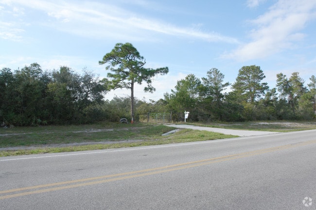
Property Detail
1909 Unknown
23-35-35-00-00500.0-0000.00
N 1/2 OF SW 1/4 OF SW 1/4 OF NE 1/4 OF SW 1/4 AS DES IN ORB 1503 PG 875
Countyproperty
BREVARD
SR
Florida
A Areas with a 1% annual chance of flooding and a 26% chance of flooding over the life of a 30-year mortgage.
104.42 AC
0
Brevard County
2025
Orlando
0621032009
Palm Bay-Melbourne-Titusville, FL
NEARBY LISTINGS FOR SALE OR LEASE
DEMOGRAPHICS near 1909 Unknown
1 mile
3 mile
5 mile
2025 Total Population
2,062
27,985
49,576
2030 Population
2,134
29,555
52,657
Pop Growth 2025-2030
+ 3.49%
+ 5.61%
+ 6.21%
Average Age
42
43
44
2025 Total Households
366
10,405
19,513
HH Growth 2025-2030
+ 6.56%
+ 5.52%
+ 6.10%
Median Household Inc
$76,282
$84,115
$80,139
Avg Household Size
2.50
2.50
2.40
2025 Avg HH Vehicles
2.00
2.00
2.00
Median Home Value
$340,833
$304,274
$301,362
Median Year Built
1988
1987
1987
Nearby Places
Map Layers
Map Styles
 Street
 Aerial
Layers
 Traffic
 Biking
Places
Listings with unknown addresses are not visible on the map
- Restaurants
- Banks
- Shops
- Fitness
- Groceries
PUBLIC TRANSPORTATION
AIRPORT
Melbourne Orlando International
Drive
Walk
Distance
Melbourne Orlando International
47 min
33.2 mi
Freight Ports
Port Canaveral
Drive
Walk
Distance
Port Canaveral
21 min
13.7 mi
Nearby Properties
Address
Land Use
TOTAL SIZE
Lot Size
Zoning
Address
Land Use
TOTAL SIZE
Lot Size
Zoning
413,008 SF
127.62 AC
GMLH
Address
Land Use
TOTAL SIZE
Lot Size
Zoning
335,014 SF
185.59 AC
M2
Address
Land Use
TOTAL SIZE
Lot Size
Zoning
212.10 AC
PUD
Address
Land Use
TOTAL SIZE
Lot Size
Zoning
73,476 SF
31.58 AC
BU1
Address
Land Use
TOTAL SIZE
Lot Size
Zoning
96,436 SF
19.10 AC
RU19
Address
Land Use
TOTAL SIZE
Lot Size
Zoning
48,555 SF
42.28 AC
IU
Address
Land Use
TOTAL SIZE
Lot Size
Zoning
144,430 SF
14.02 AC
M2
Address
Land Use
TOTAL SIZE
Lot Size
Zoning
95,535 SF
12.69 AC
AU
Address
Land Use
TOTAL SIZE
Lot Size
Zoning
52,398 SF
9.68 AC
M2
Address
Land Use
TOTAL SIZE
Lot Size
Zoning
65,645 SF
107.50 AC
GML
Address
Land Use
TOTAL SIZE
Lot Size
Zoning
89,772 SF
10.12 AC
BU1
Address
Land Use
TOTAL SIZE
Lot Size
Zoning
126,270 SF
20.99 AC
M2
Address
Land Use
TOTAL SIZE
Lot Size
Zoning
7,788 SF
200 AC
GML
Address
Land Use
TOTAL SIZE
Lot Size
Zoning
92,647 SF
7.02 AC
BU-2
Address
Land Use
TOTAL SIZE
Lot Size
Zoning
42,936 SF
27.69 AC
GU
Address
Land Use
TOTAL SIZE
Lot Size
Zoning
108,970 SF
22.19 AC
IU
Address
Land Use
TOTAL SIZE
Lot Size
Zoning
74,632 SF
8.84 AC
M2
Address
Land Use
TOTAL SIZE
Lot Size
Zoning
24,151 SF
4.62 AC
GML-H
Address
Land Use
TOTAL SIZE
Lot Size
Zoning
69,044 SF
6.27 AC
PIP
Address
Land Use
TOTAL SIZE
Lot Size
Zoning
37,125 SF
6.40 AC
M2
Address
Land Use
TOTAL SIZE
Lot Size
Zoning
19,580 SF
19.95 AC
RU24
Address
Land Use
TOTAL SIZE
Lot Size
Zoning
27,271 SF
10 AC
M2
Address
Land Use
TOTAL SIZE
Lot Size
Zoning
64,221 SF
20.23 AC
M2
Address
Land Use
TOTAL SIZE
Lot Size
Zoning
19,051 SF
1.92 AC
M2
Address
Land Use
TOTAL SIZE
Lot Size
Zoning
39,290 SF
3 AC
M2
Address
Land Use
TOTAL SIZE
Lot Size
Zoning
38,727 SF
2.38 AC
BU1
Address
Land Use
TOTAL SIZE
Lot Size
Zoning
20,615 SF
6 AC
INL
Address
Land Use
TOTAL SIZE
Lot Size
Zoning
10.47 AC
M2
Address
Land Use
TOTAL SIZE
Lot Size
Zoning
17,360 SF
3.11 AC
GML
Address
Land Use
TOTAL SIZE
Lot Size
Zoning
29.34 AC
M2
The World's #1 Commercial Real Estate Marketplace
Connect with us
© 2026 CoStar Group
The information above has been obtained from sources believed reliable. While we do not doubt its accuracy we have not verified it and make no guarantee, warranty or representation about it. It is your responsibility to independently confirm its accuracy and completeness. Any projections, opinions, assumptions, or estimates used are for example only and do not represent the current or future performance of the property. The value of this transaction to you depends on tax and other factors which should be evaluated by your tax, financial, and legal advisors. You and your advisors should conduct a careful, independent investigation of the property to determine to your satisfaction the suitability of the property for your needs.